AI-powered learning
Save this course
Using GeoPandas for Geospatial Analysis in Python
Gain insights into GIS with GeoPandas, learn to manipulate geospatial data, delve into advanced geoprocessing, and create interactive maps, culminating in a comprehensive project.
5.0
46 Lessons
2 Projects
8h
Join 3 million developers at
Join 3 million developers at
LEARNING OBJECTIVES
- An understanding of the basic concepts behind geospatial data
- A hands-on experience manipulating geospatial data provided in various formats
- A working knowledge of the most common GIS operations such as spatial clipping, merging, and overlays
- The ability to apply GIS concepts and methods to real-world datasets
- A familiarity with creating visually engaging and informative static and interactive maps
Learning Roadmap
1.
Introduction to Geospatial Data and Geopandas
Introduction to Geospatial Data and Geopandas
Get familiar with geospatial data types, GeoPandas, projections, and Python libraries.
2.
Importing and Exporting Geospatial Data
Importing and Exporting Geospatial Data
Get started with importing, exporting, visualizing, and manipulating geospatial data using GeoPandas.
Importing Geospatial DataQuick Data VisualizationReading In-memory GeometryExporting Geospatial Data in Various Data FormatsExercise: Basic I/OSolution: Basic I/OGeoDataFrame FilteringDataFrame OperationsExercise: DataFrame OperationsSolution: DataFrame OperationsTabular Coordinates: GeoSeries and Geometry CollectionsExamples: Creating Geometries
3.
Geoprocessing with Geopandas
Geoprocessing with Geopandas
18 Lessons
18 Lessons
Work your way through geoprocessing techniques in GeoPandas for enhanced spatial data analysis.
4.
Spatial Data Visualization
Spatial Data Visualization
6 Lessons
6 Lessons
Break down the steps to visualize spatial data with GeoPandas and other tools.
Certificate of Completion
Showcase your accomplishment by sharing your certificate of completion.
Complete more lessons to unlock your certificate
Developed by MAANG Engineers
ABOUT THIS COURSE
Geospatial analysis plays a crucial role in various applications, from urban planning and environmental monitoring to transportation logistics and emergency response. In this course you will be introduced to GIS applications in Python through the GeoPandas library.
You'll begin with the essentials of geospatial data and its formats. You'll then learn to import, manipulate, and export geospatial data using Geopandas. Moving forward, you’ll explore advanced geoprocessing techniques and create captivating visualizations with static and interactive maps. The course concludes with a hands-on project combining various concepts and skills.
After completing this course, you can manipulate geospatial data, create insightful visualizations, and undertake complex geoprocessing tasks. These skills can open new doors and opportunities in the dynamic realm of GIS, empowering you in your career or academic pursuits.
ABOUT THE AUTHOR

Mauricio Cordeiro
Geospatial data scientist and scientific programmer, specialized in geosciences and remote sensing for the environment. I enjoy applying applying ML and DL to answer Earth-related scientific questions.
Trusted by 3 million developers working at companies
A
Anthony Walker
@_webarchitect_
E
Evan Dunbar
ML Engineer
S
Software Developer
Carlos Matias La Borde
S
Souvik Kundu
Front-end Developer
V
Vinay Krishnaiah
Software Developer
Built for 10x Developers
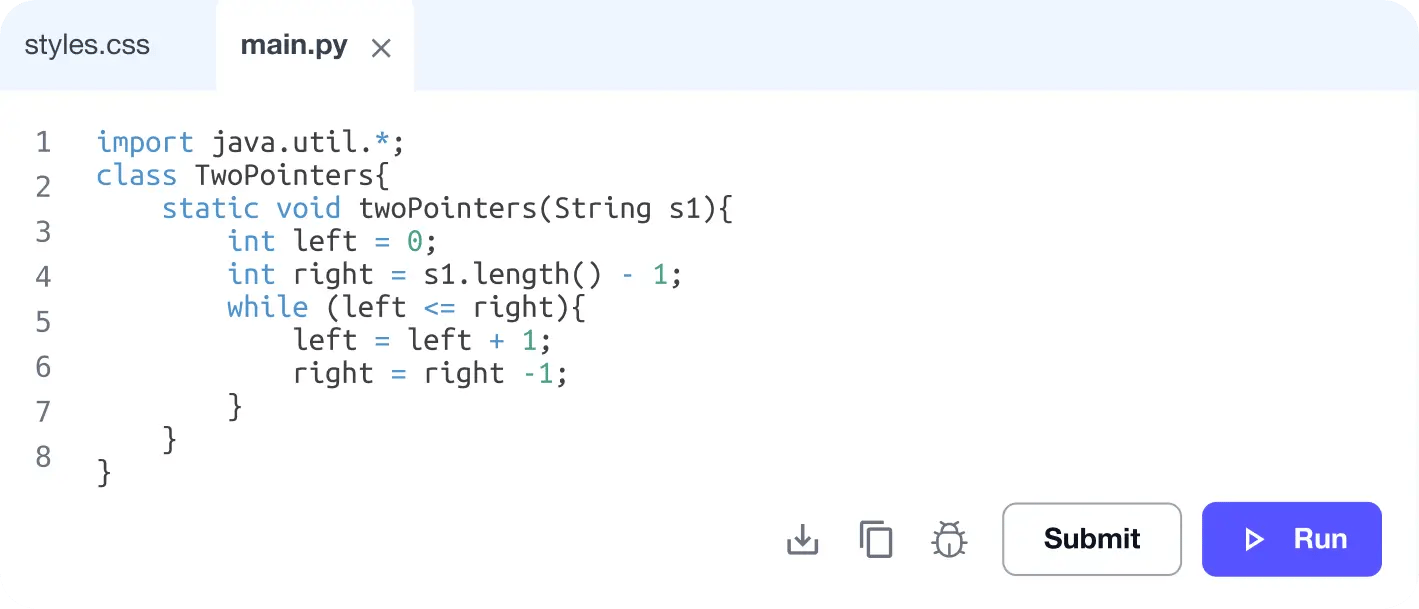
No Passive Learning
Learn by building with project-based lessons and in-browser code editor
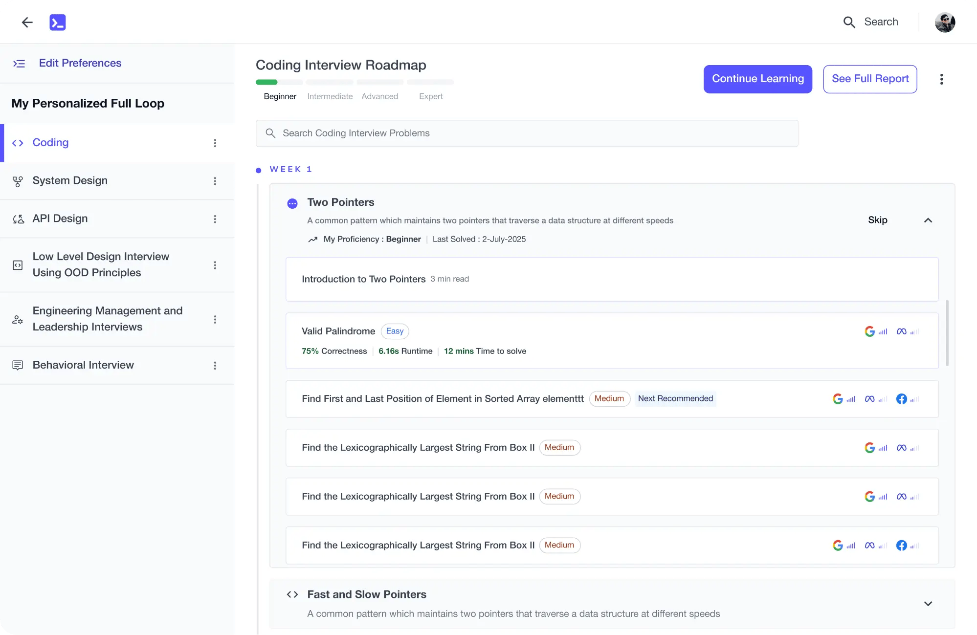
Personalized Roadmaps
The platform adapts to your strengths & skills gaps as you go

Future-proof Your Career
Get hands-on with in-demand skills
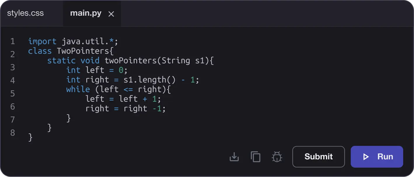
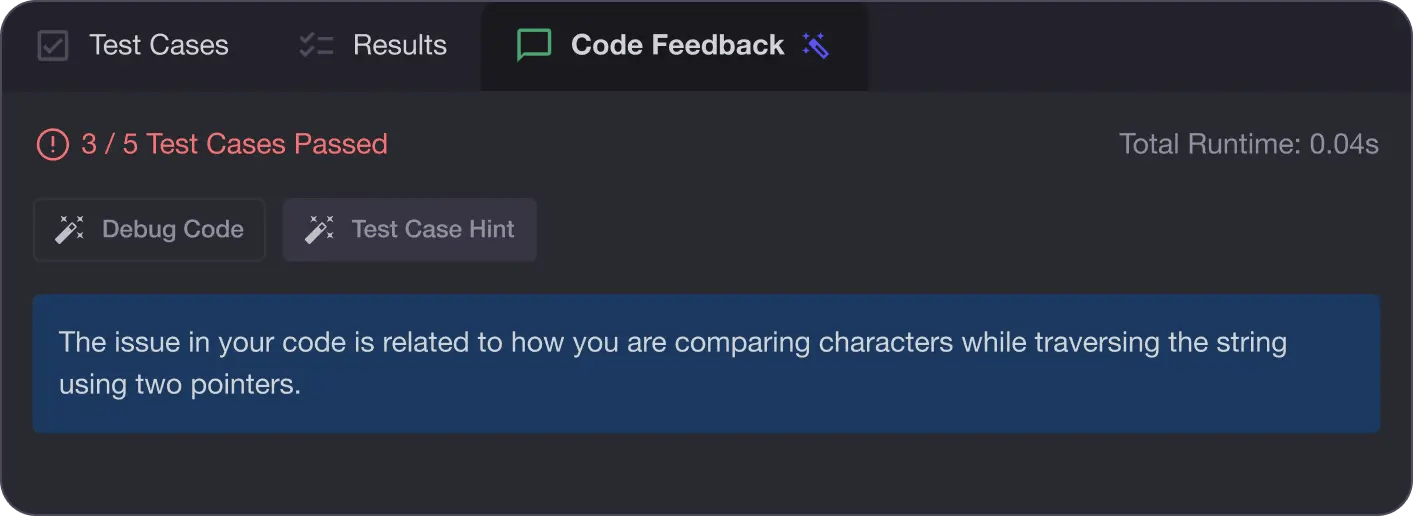
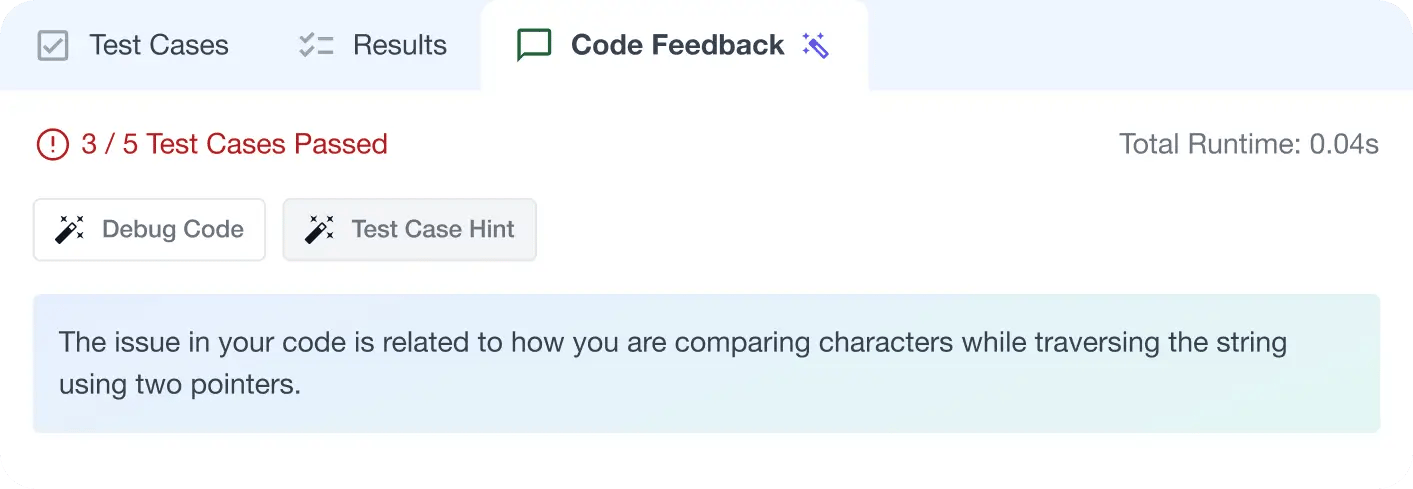
AI Code Mentor
Write better code with AI feedback, smart debugging, and "Ask AI"
MAANG+ Interview Prep
AI Mock Interviews simulate every technical loop at top companies


Free Resources
